Lewisham London Borough Map
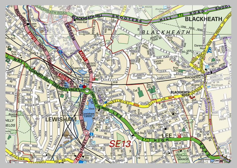
This map meticulously displays the London Borough of Lewisham, inclusive of roads, railways, landforms, waterbodies, tourist information, area dimensions, estimated population (2014), postal codes, dialing codes, transport zones and more. Professionals and travelers alike can use it to survey the city and map out a course of action. Plus, easily pinpoint nearby public facilities, notable sites and tourist spots with this comprehensive depiction of the area that can facilitate navigating through the borough swiftly and effectively.
Laminated option: Printed onto high quality paper and finished with a gloss laminate.
Vinyl option: Printed onto heavy weight vinyl with metal eyelets for easy hanging. The material is very durable and hard wearing and can also be rolled up for storage and wiped clean.