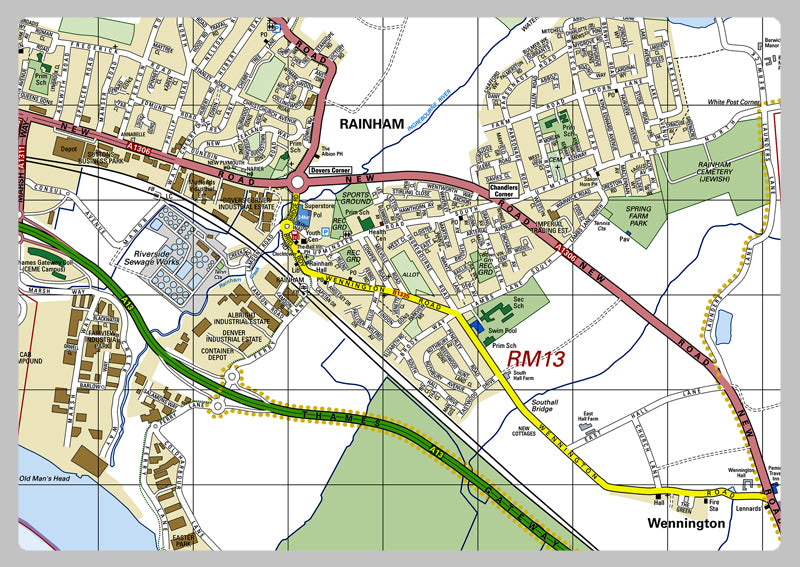
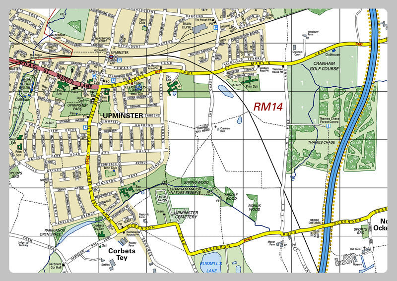
Havering London Borough Map
This detailed map covers the London Borough of Havering. This Borough Map is packed with roads, railroads, landmasses, aquascapes, tourist data, area acreage, approximated populace (2014), postcodes, dialling codes, travel zones & more. Ideal for professionals & visitors, the map is a brilliant way to sightsee the city & plan a route. Instantly find adjacent public facilities, iconic landmarks & attractions with this comprehensive map of the area that aids you traverse the borough quickly & conveniently.
Laminated option: Printed onto high quality paper and finished with a gloss laminate.
Vinyl option: Printed onto heavy weight vinyl with metal eyelets for easy hanging. The material is very durable and hard wearing and can also be rolled up for storage and wiped clean.