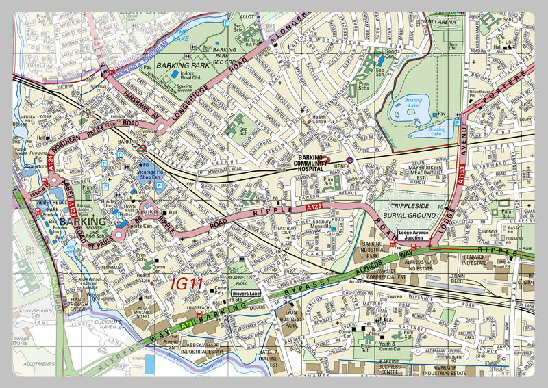
Barking & Dagenham London Borough Map
This map of the London Borough of Barking & Dagenham is comprehensive. It features the borough boundary, roads, railways, land features, water features and tourist information. There is further key information on the top right corner, such as the area size, estimated population (2014), postcodes, dialing codes and transport zones. Ideal for professionals and tourists alike, this map is a great way to explore the city or plan a journey. It's designed to help you navigate through the borough quickly and efficiently, giving you a detailed outline of the area. You can also easily locate nearby public amenities, historical landmarks, and attractions.
Laminated option: Printed onto high quality paper and finished with a gloss laminate.
Vinyl option: Printed onto heavy weight vinyl with metal eyelets for easy hanging. The material is very durable and hard wearing and can also be rolled up for storage and wiped clean.